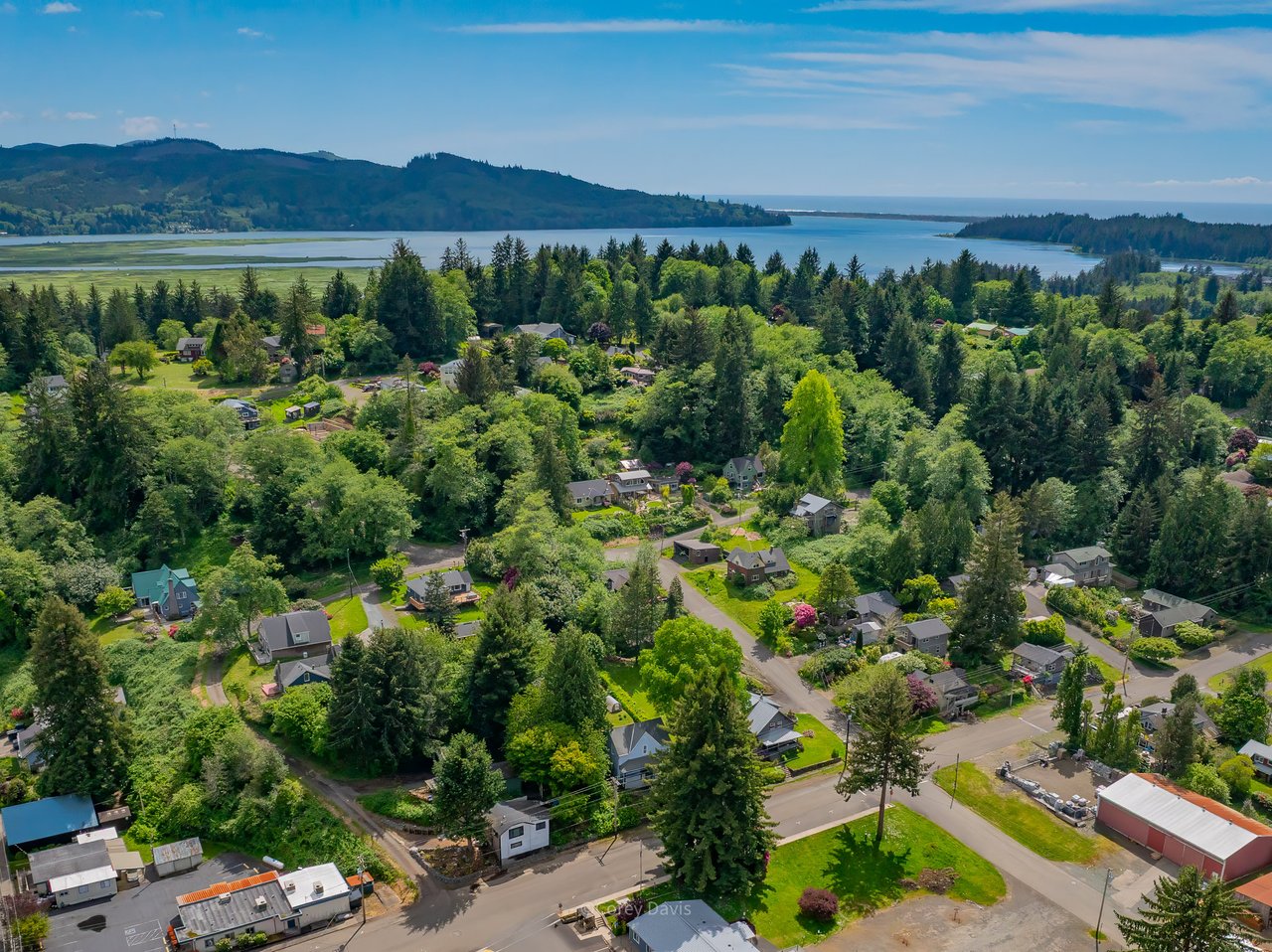
Dreaming about a bluff‑top view in Arch Cape? Before you sketch a deck or plan a remodel, you need to know how oceanfront setbacks shape what is possible on your lot. Setbacks protect people and property from erosion and storm waves, and they directly affect home value, design, and timing. In this guide, you’ll learn what setbacks are, how they are decided for Arch Cape, and the practical steps that help you move forward with confidence. Let’s dive in.
Oceanfront setbacks explained
An oceanfront setback is a line on your lot that marks how close to the bluff or beach you can build. It often applies to new homes, additions, and even decks or patios. The purpose is safety and stewardship. Setbacks help manage risk from bluff retreat, landslides, and storm surge while preserving beach access and coastal processes.
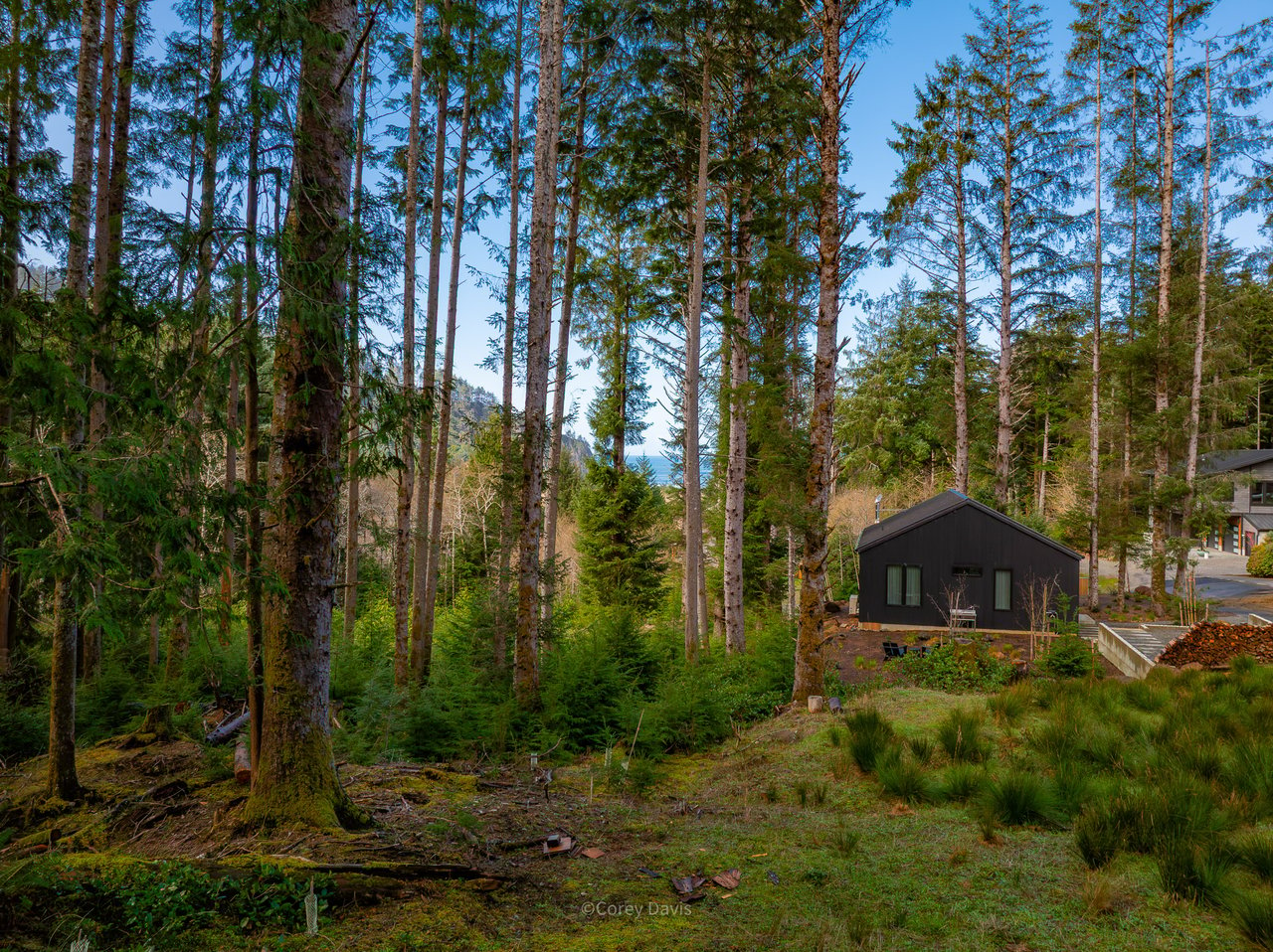
Arch Cape sits on steep bluffs, dunes, and narrow beaches. Erosion and storm waves are active here, so the distance you must stay back can be significant. There is no single statewide number that applies everywhere. In Arch Cape, setback distance varies by site based on local rules and the geology of your specific parcel.
Arch Cape rules and agencies
Setbacks in Arch Cape are shaped by a mix of state guidance and county rules. Local planning must be consistent with Oregon’s coastal goals, including Goal 18 for beaches and dunes, overseen by the Oregon Department of Land Conservation and Development. Scientific mapping and hazard data come from the Oregon Department of Geology and Mineral Industries, which studies bluff retreat and coastal erosion.
Because Arch Cape is unincorporated, Clatsop County’s Comprehensive Plan and Land Use Code control your permits, hazard overlays, and variance procedures. You can begin with the county’s Planning and GIS resources on the Clatsop County website. FEMA flood rules may also apply if your lot is in a mapped flood zone. Those rules affect elevation and construction standards, but not the lateral setback line. You can confirm flood zones and base flood elevations through the FEMA Map Service Center.
How setbacks are set
Setbacks are usually tied to risk, not a fixed distance. Planners and geologists look at the bluff edge or dune crest as a reference. They consider historic erosion rates, the planning horizon for the home’s life, and the stability of the slope.
Here is the simple version of the common method. Experts estimate how much the bluff may move over time, then add a safety factor. The result is a minimum distance landward of the hazard where new construction should go. For background and map tools, many owners review the Oregon Coastal Atlas alongside DOGAMI’s hazard products at Oregon Geology.
If the county has a mapped setback for your parcel, it appears in their GIS. If not, or if your project is close to the bluff, you will likely need a site‑specific geotechnical report to establish a safe setback for your design.
Impacts on building and remodels
Setbacks influence feasibility, cost, and design choices. Expect more documentation and review than a typical inland property.
New builds
If the required setback covers much of your lot, a full‑sized new home may not fit as first imagined. Builders may shift the footprint inland, reduce the size, or use foundations that minimize grading near the bluff. New shoreline armoring to protect a proposed structure is often limited and requires separate approvals, so plans cannot rely on a future seawall for protection.
Additions and decks
Interior remodels are rarely affected by setbacks. Exterior additions that push seaward are often limited or may need a variance with technical studies. Ground‑level decks seaward of the setback are commonly restricted. Elevated decks are sometimes considered if they do not increase risk or affect bluff stability, but structural and geotechnical review is typical.
Repairs and replacements
Some existing homes predate current rules. These nonconforming structures can often continue, but expansions or major replacements may trigger full compliance with current setback standards. If a home is substantially altered, the county may require modern setbacks and updated engineering.
Shoreline armoring
Seawalls, revetments, and similar structures face strong scrutiny in Oregon because they can shift erosion to neighboring areas and reduce public beach access. Many jurisdictions limit new armoring and require substantial findings and mitigation. Approval may involve state and county reviews, and sometimes federal permits as well.
Buyer due diligence steps
If you are evaluating an Arch Cape property near the bluff or beach, take these steps early.
- Confirm the property address and assessor parcel number. Keep these handy for map searches and permit history.
- Review Clatsop County Planning, GIS layers, and past permits through the Clatsop County website. Look for coastal hazard overlays and any mapped setback lines.
- Check DOGAMI’s coastal hazard resources at Oregon Geology for bluff retreat and landslide information.
- Use the FEMA Map Service Center to verify flood zones and Base Flood Elevations.
- For water levels and storm surge context, consult NOAA Tides and Currents.
- Ask the seller for prior permits, any geotechnical reports, and the history of shoreline protection on or near the site.
- Budget for a site‑specific geotechnical report if the home or project area is near a bluff or dune. This report is often the single most useful document for design feasibility and lender comfort.
- Contact Clatsop County Planning staff early to confirm which permits, studies, and setbacks apply to your scope of work.
- Consider title and insurance effects, including potential FEMA flood insurance requirements.
Time, cost and risk
Coastal permitting typically takes longer than inland projects. Expect added time for geotechnical fieldwork, engineering design, and county review. This can add weeks to months to your schedule.
Costs vary with terrain, scope, and the level of review required. You should plan for geotechnical and structural consulting fees in addition to normal design costs. There is also uncertainty. A geotechnical report may conclude that a portion of a parcel is too hazardous for safe building. That finding can affect value, design scope, and loanability.
How to read maps with care
County GIS, DOGAMI hazard maps, and FEMA FIRMs show different parts of the coastal risk picture. They do not always line up at parcel scale. For example, FEMA maps address flooding and elevation, not bluff retreat. DOGAMI maps illustrate erosion and landslide hazards at a regional scale, which may not predict exact conditions on your lot.
Use these maps to understand general risk patterns. Then confirm with a site‑specific geotechnical report when you are near a bluff or dune. This two‑step approach helps you avoid surprises when you submit for permits.
Common triggers for more review
Certain situations often require additional studies or stricter setbacks:
- Building within a specified distance of the bluff edge or dune crest
- Adding square footage that extends further seaward than the existing footprint
- Replacing or enlarging decks near the bluff
- Proposing shoreline armoring to protect a structure
When you hit these triggers, the county may ask for geotechnical analysis and may limit how far seaward you can build. Plan for this in your budget and timeline.
Key agencies and why they matter
- Clatsop County Planning and Building administer your permits, hazard overlays, and variances. Start on the Clatsop County website.
- The Oregon Department of Land Conservation and Development sets statewide coastal planning goals and guidance that local plans must follow.
- DOGAMI produces hazard mapping, including bluff retreat and landslides, that inform setbacks and engineering.
- The Oregon Coastal Atlas offers interactive mapping for many coastal topics.
- The FEMA Map Service Center provides flood zones and base flood elevations that shape elevation and construction requirements.
- NOAA Tides and Currents provides tide levels and extreme water event data that help frame storm risk.
Work with a local guide
There is no one‑size‑fits‑all setback in Arch Cape. Each parcel is different, and the smartest move is to combine public maps with a site‑specific geotechnical report before you design. A local, experienced team can help you sequence due diligence, coordinate with the right professionals, and keep your goals aligned with county requirements.
If you are weighing an oceanfront purchase or planning a remodel, connect with our founder‑led, boutique team for guidance on timing, risk, and market value. We represent buyers and sellers of premium coastal homes and lots, and we coordinate a smooth process for out‑of‑area clients who need concierge support. When you are ready to explore options or want early access to listings, reach out to Home + Sea Realty.
FAQs
What is an oceanfront setback in Arch Cape?
- It is a line on your lot that limits how close to the bluff or beach you can build so people, property, and public coastal processes are protected.
How do I find the setback on my Arch Cape parcel?
- Check Clatsop County’s planning and GIS resources, review DOGAMI coastal hazards, and commission a site‑specific geotechnical report for the most reliable setback.
Can I build a deck or addition near the bluff in Arch Cape?
- Often limited. Projects near the bluff usually require geotechnical review, and seaward expansions or ground‑level decks may be restricted.
Are seawalls allowed for Arch Cape homes?
- New armoring is often limited and faces strong scrutiny because it can worsen adjacent erosion and affect beach access, and it requires multiple approvals.
Do oceanfront setbacks change over time in Clatsop County?
- Yes. As science and policy are updated, maps and setback standards can change, which may affect future projects on the same parcel.
Will FEMA flood zones affect my Arch Cape build?
- FEMA flood rules can set elevation and construction requirements but do not set the lateral setback line. Check the FEMA Map Service Center for your zone.